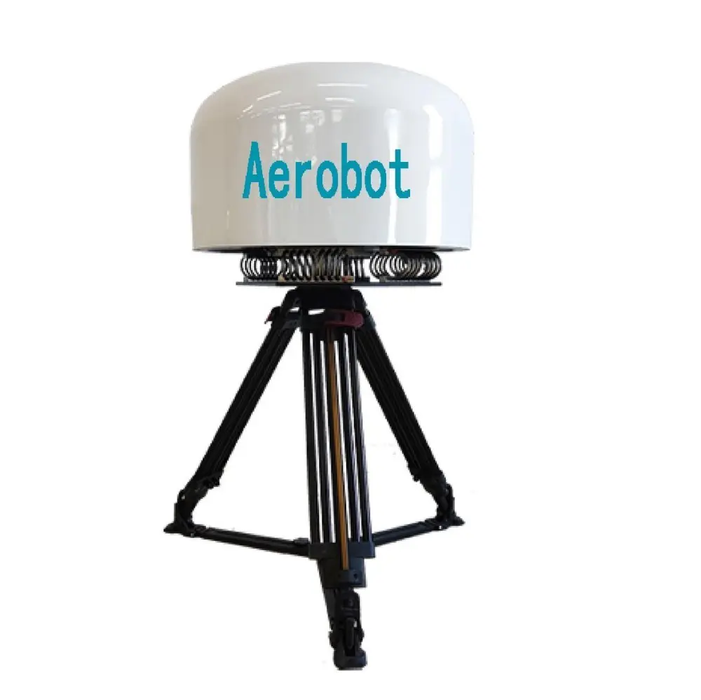
Top Supplier & Exporter of Quality Thermal Mapping Drones for Enhanced Performance
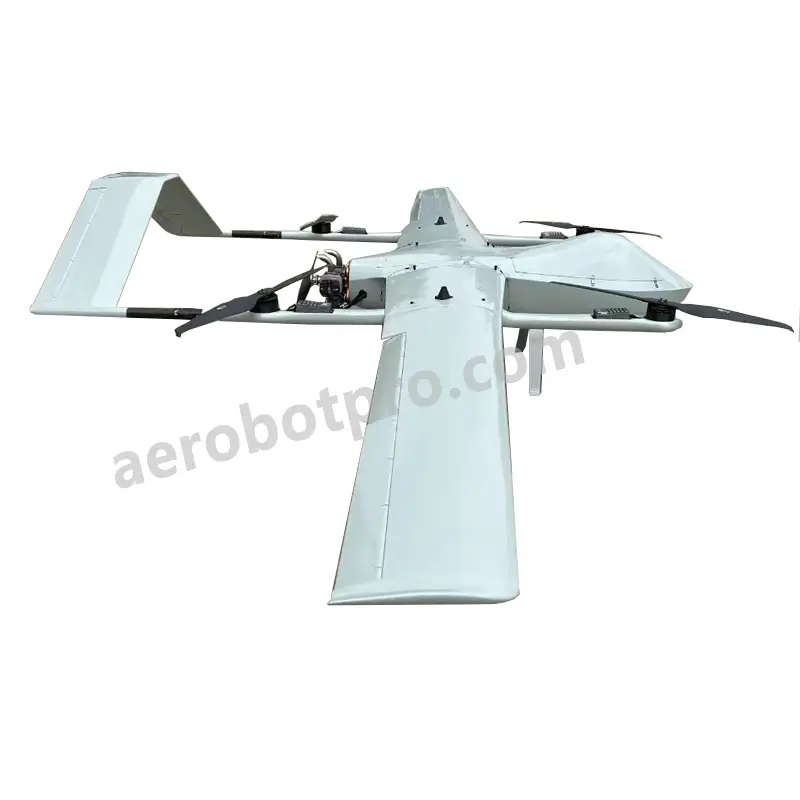
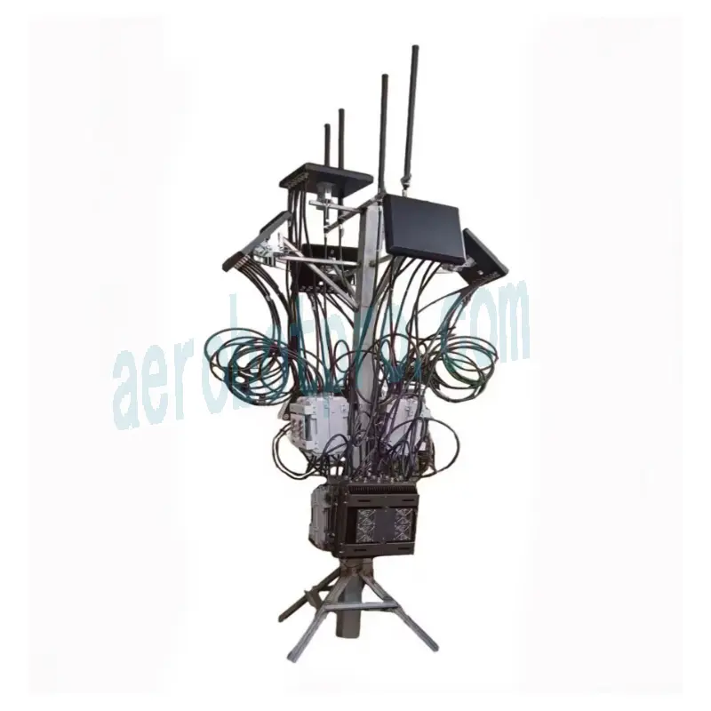
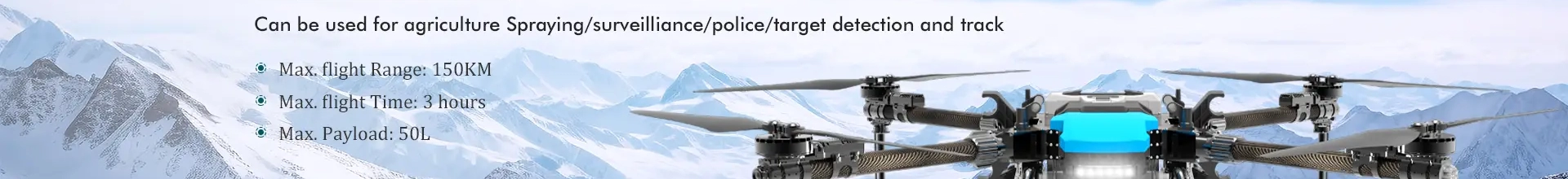
Unlock the potential of advanced thermal mapping technology with our innovative drones from Aerobot Avionics Technologies Co., Ltd. These drones are engineered to deliver accurate and high-resolution thermal imagery, catering to various applications such as agricultural assessment, infrastructure analysis, and environmental monitoring. Equipped with the latest thermal imaging cameras and sophisticated flight control systems, our drones excel in capturing detailed thermal maps. Whether you aim to identify heat leaks in buildings, evaluate crop vitality, or inspect solar panel conditions, our thermal mapping solutions provide dependable and actionable data for effective decision-making. Aerobot Avionics Technologies Co., Ltd. is dedicated to offering premium thermal mapping solutions across multiple industries with tailored drone configurations and extensive training and support services to fulfill your specific requirements. Leverage our expertise and cutting-edge technology to enhance your operations and gain a competitive advantage in your field.