Leading China Fixed Wing Mapping Drone Supplier: Premium Quality & Service Guaranteed
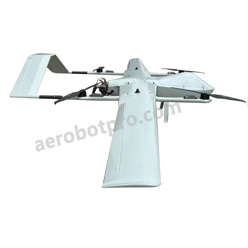
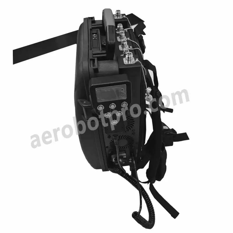
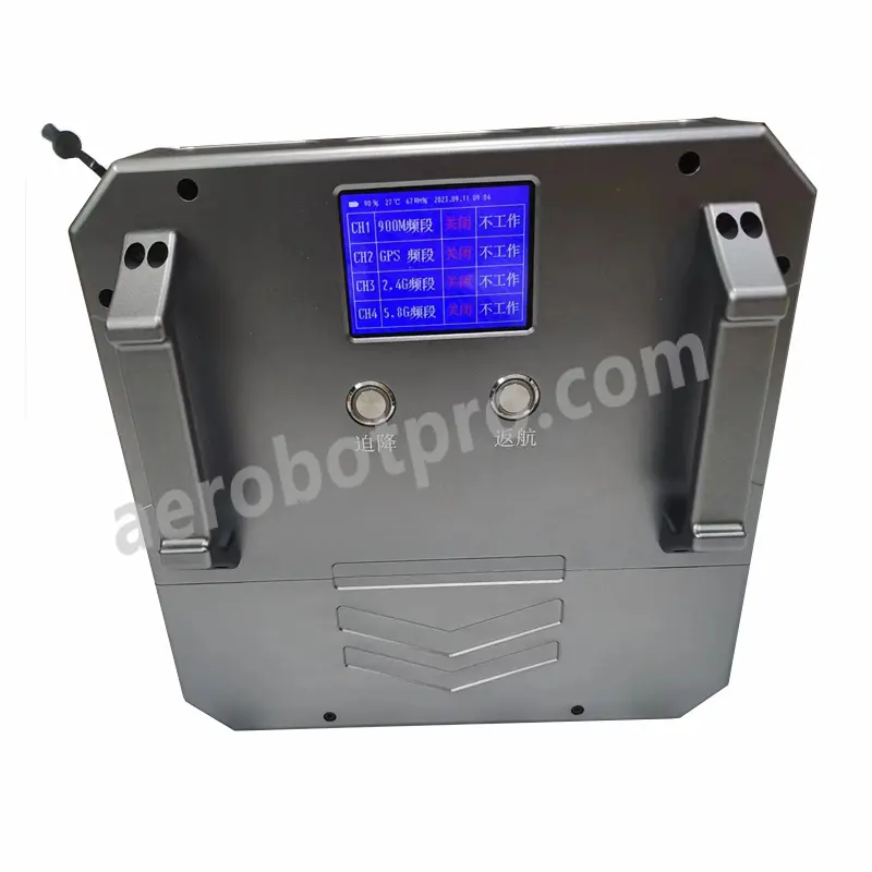
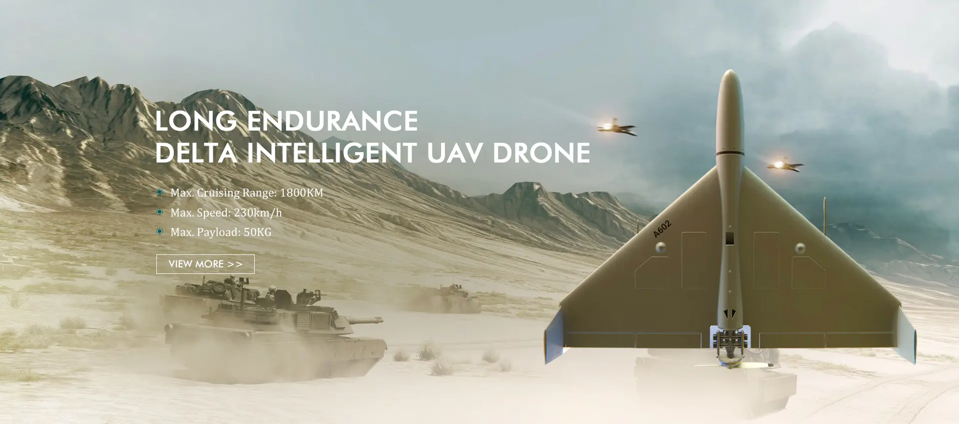
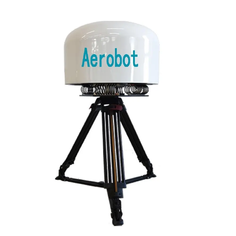
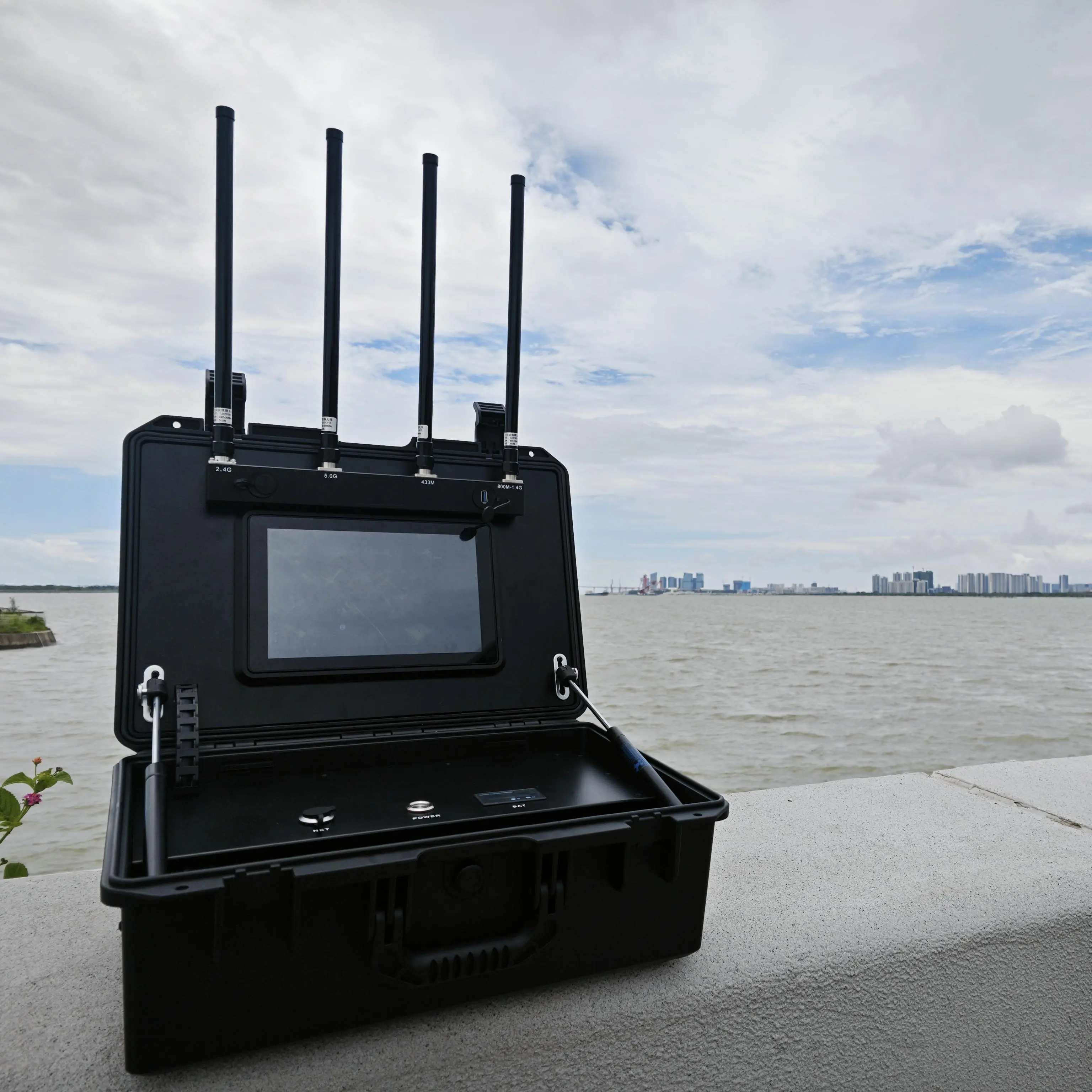
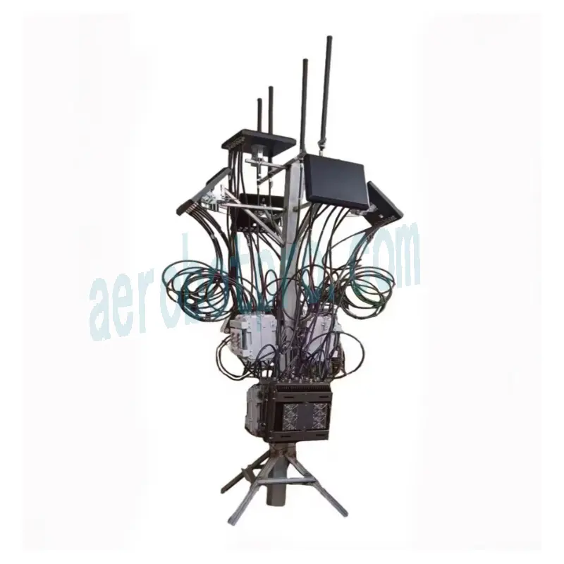
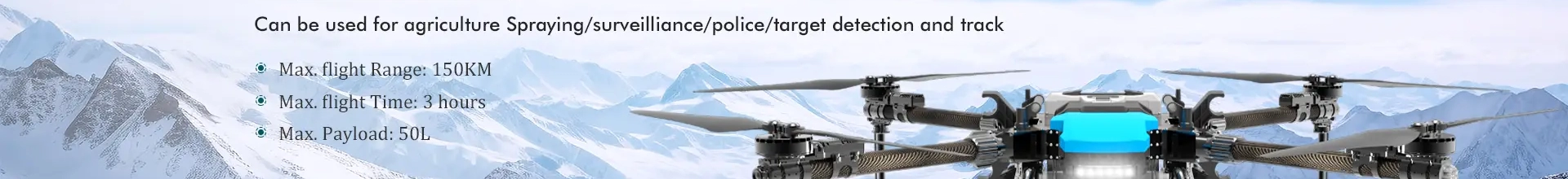
The Fixed Wing Mapping Drone from Aerobot Avionics Technologies Co., Ltd. is expertly engineered for professional surveyors, engineers, and geospatial specialists. This advanced drone offers exceptional precision and efficiency for aerial data collection and mapping tasks. Featuring state-of-the-art technology, including high-resolution cameras and advanced GPS systems, it provides accurate and detailed imagery suitable for a variety of applications, such as land surveying, construction site mapping, and environmental monitoring. With extended flight time and extensive coverage capabilities, it is perfect for large-scale projects. Designed for durability, this reliable drone performs exceptionally well in challenging environments, ensuring consistent results in remote and rugged terrains. Committed to quality and customer support, Aerobot Avionics Technologies Co., Ltd. delivers high-standard aerial surveying and mapping solutions tailored to enhance your operational capabilities.