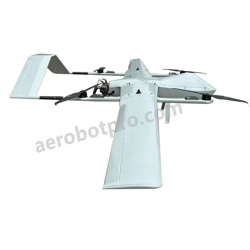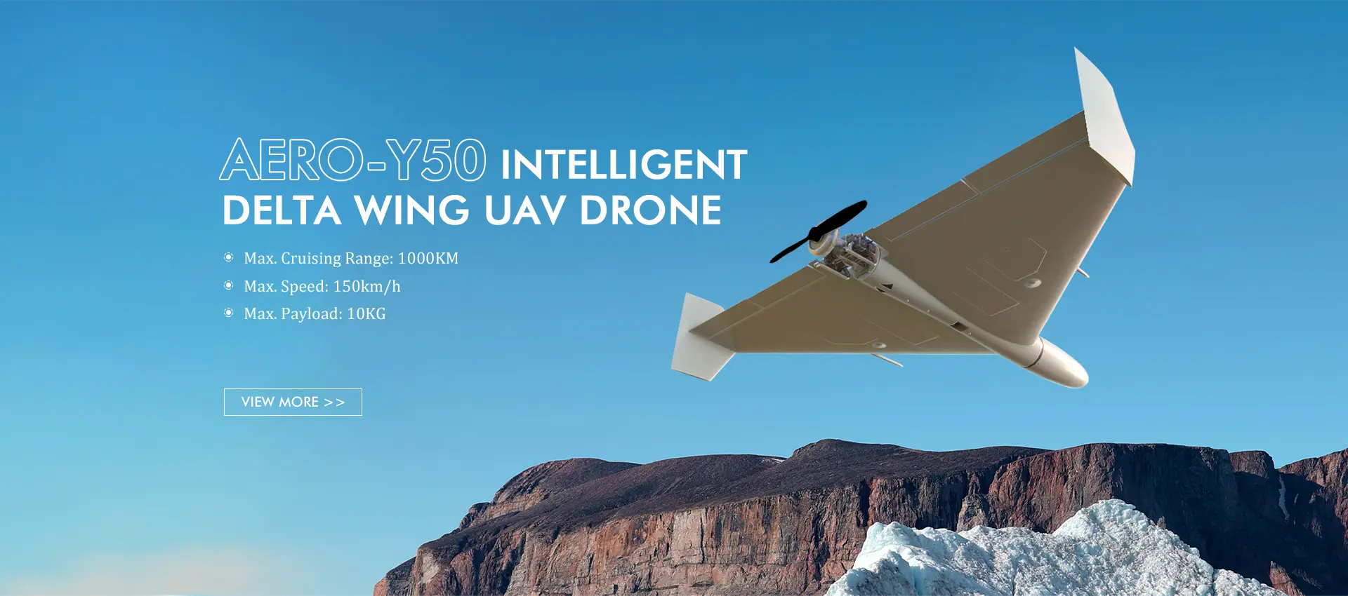
Top DIY Fixed Wing Mapping Drones by Leading Manufacturers & Exporters
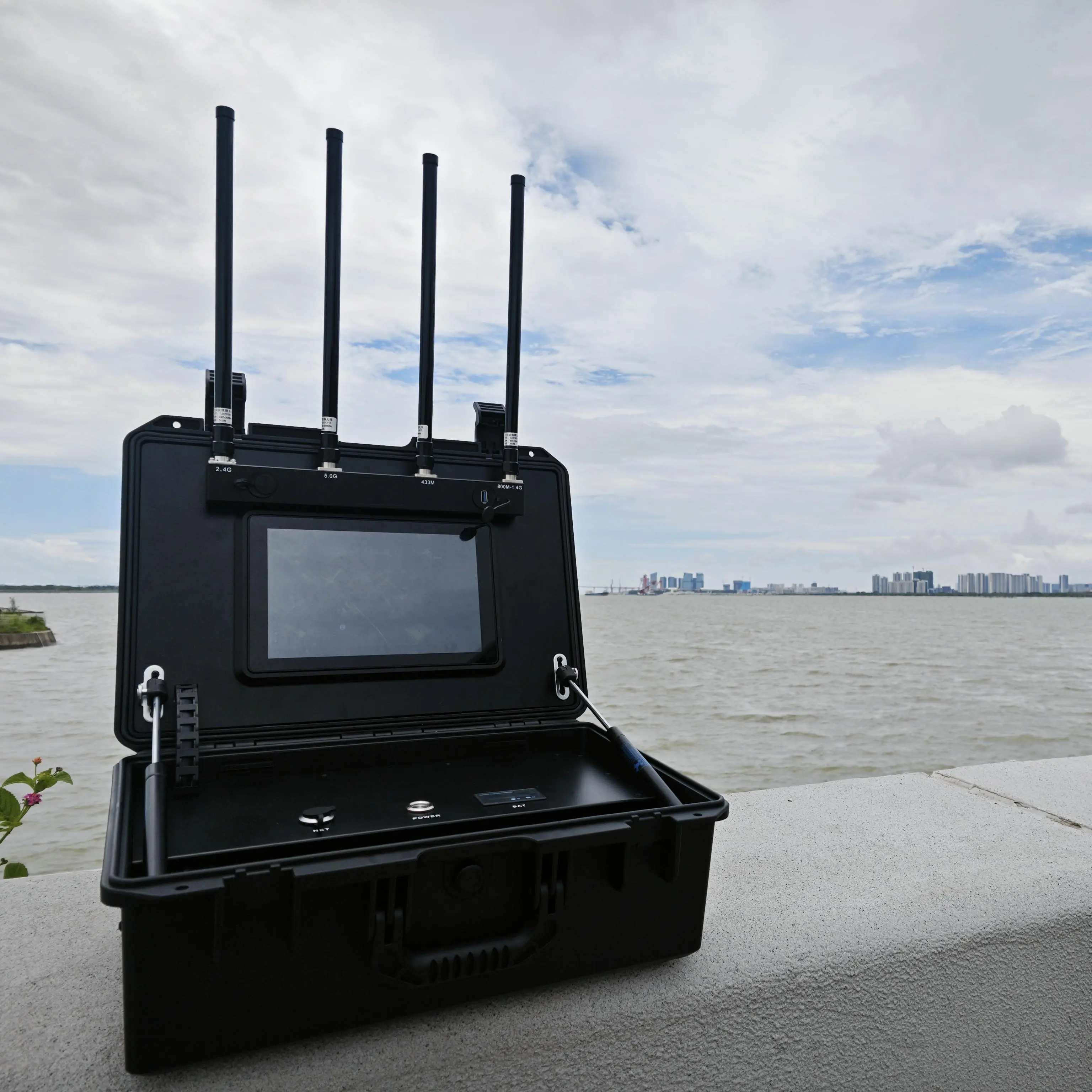
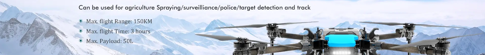
Elevate your mapping and surveying projects with our DIY Fixed Wing Mapping Drone, crafted by Aerobot Avionics Technologies Co., Ltd. This state-of-the-art drone is tailored for professional use, delivering exceptional aerial imaging and data collection capabilities. Its robust fixed-wing design ensures effortless assembly and operation, making it a perfect choice for both professionals and hobbyists. Equipped with advanced autopilot and navigation systems, it enables precise flight planning, while the high-resolution camera captures detailed images for accurate mapping. Customizable features allow users to adjust specifications to meet their project needs, whether it's for agricultural mapping, construction site analysis, or environmental research. At Aerobot Avionics Technologies Co., Ltd., we prioritize innovation and quality, with our DIY Fixed Wing Mapping Drone exemplifying our commitment to advancing aerial surveying technology.